By Terry Walker · Co-Author & ISTD Ski Instructor · Val d'Isère & Tignes
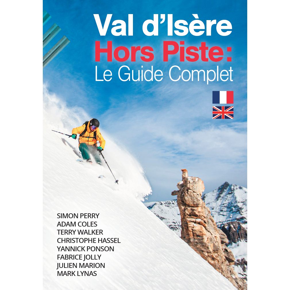
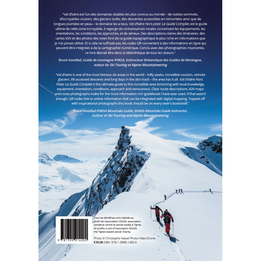
Val d'Isère Hors Piste: Le Guide Complet
By Simon Perry, Terry Walker & Adam Coles
Full color · Bilingual EN / FR · IGN maps · Scannable QR Codes · Aspect info-grams · All author profits donated to charity
When we first set out to create Val d'Isère Hors Piste: Le Guide Complet, our goal was ambitious yet straightforward: produce the most accurate, technologically advanced, and honest off-piste guidebook ever printed for this world-famous valley. Spanning two intense years of mountain exploration, rigorous GPS mapping, and relentless editing, the book became much more than a collection of descents. It is a modern backcountry masterwork that sets a completely new benchmark for alpine guidebooks worldwide.
* Serious Alpine Terrain: Val d'Isère and Tignes boast arguably the greatest lift-accessed off-piste terrain on earth, but that scale comes with grave objective hazards.
* No-Fall Zones & Cliff Bands: Many descents feature convex rollovers, blind canyon throats, and mandatory no-fall pitches where a mistake has catastrophic consequences.
* Avalanche Danger Is Always Present: Snow conditions, wind slabs, and temperature swings constantly reshape hazard profiles. Carrying a transceiver, metal shovel, probe, and knowing how to make conservative decisions under pressure are non-negotiable.
* Built with a High Entry Level: We deliberately structured the guidebook with a demanding entry threshold. Beginners cannot accidentally navigate themselves into extreme danger because the lines start at an elevated technical baseline, accompanied by extensive safety, weather, and precaution advice throughout.
The Genesis: A Trio of Passion and Pre-AI Coding Genius
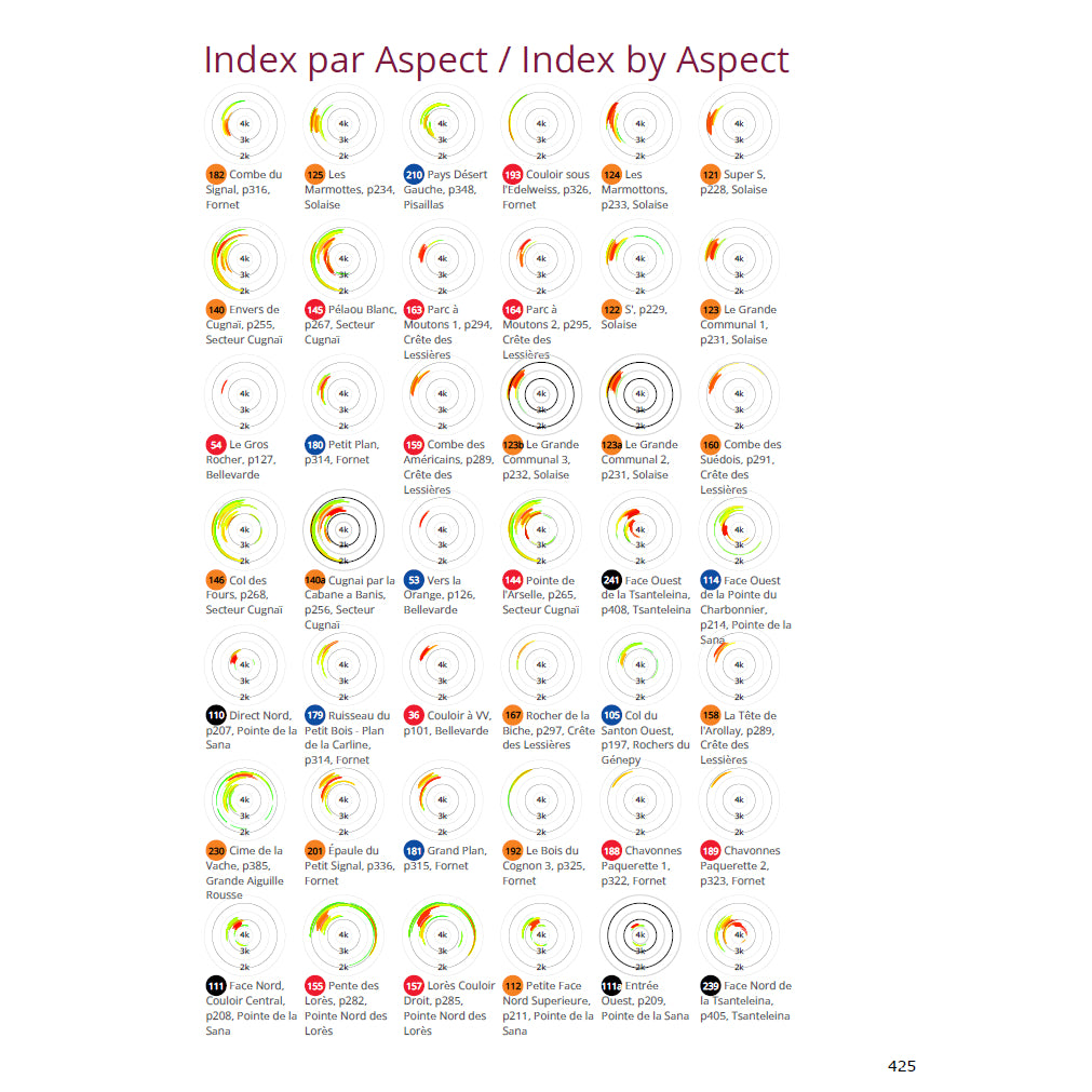
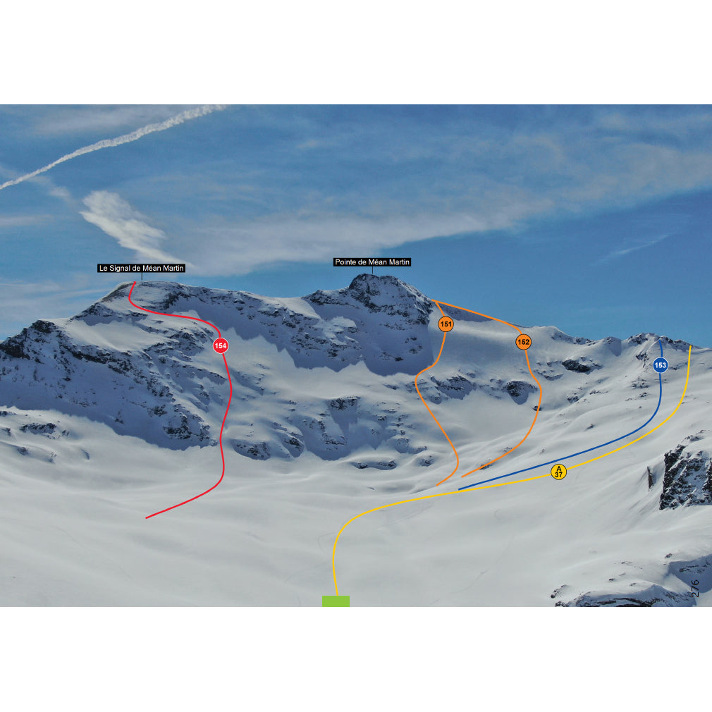
The team behind the project brought together distinct alpine skill sets. I teamed up with Simon Perry and Adam Coles. Simon was the computer genius of our crew. Long before the era of modern consumer AI, he wrote custom software code capable of harvesting complex route descriptions from an Excel spreadsheet, aligning them seamlessly with official IGN French topographical cartography, combining them with high-resolution action photos of skiers on the lines, and anchoring everything to raw GPS track data that we recorded in real time while skiing each route.
Simon's custom pipeline solved one of the oldest challenges in independent publishing: assembling a richly illustrated, high-spec color volume without the astronomical production costs that usually price niche guidebooks out of reach. Meanwhile, Adam Coles proved indispensable as a co-author, skiing countless lines across the domain alongside us and drafting a massive proportion of the route descriptions with razor-sharp precision.
Pioneering Technology: Circle Info-Grams and Instant GPS Downloads
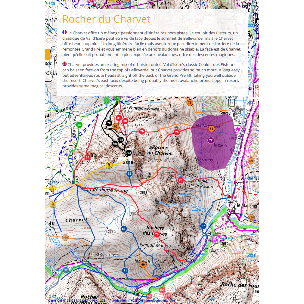
What truly elevates Val d'Isère Hors Piste into uncharted territory is its mathematical data fidelity. Every single route in the book was skied with satellite GPS loggers. Because the computer algorithm knew the exact coordinates of every turn, it computed slope aspects, pitch steepness gradients, and altitude profiles at every point along the descent.
From this rich dataset, Simon generated our signature circular info-grams. At a single glance, a skier can see exactly which compass bearings the slope faces, where it steepens, and how elevation changes over the run. Furthermore, every route includes a scannable QR code. By pointing your smartphone camera at the page, you can instantly download the approach track into your chosen offline navigation app, or access designated emergency escape codes to navigate safely back to safety if visibility deteriorates or conditions turn hazardous.
COVID-19, Lift Closures, and Ski Touring into the Wild
We initially believed we could finish the fieldwork in record time. Then COVID-19 arrived, shutting down the resort lift systems and transforming our operational environment. Far from abandoning the project, the lockdown pushed us deeper into the wild. Because the lifts were motionless, we could no longer rely on cable cars to access remote peaks. We had to put skins on our skis and tour manually into distant backcountry sectors, including the wild valleys behind La Sana, the isolated crags of Aiguille Rousse, and the protected high plateaus bordering the Vanoise National Park.
Instead of logging ten routes a day with lift assistance, we were reduced to grinding out two or three arduous ascents under our own power. But the physical reward was immense. We developed peak mountain fitness, deepened our acclimatisation, and shared unforgettable adventures. Working alongside Simon and Adam was an absolute joy, filled with laughter, camaraderie, and spirited debates over descriptions while pausing on windswept ridgelines.
Ruthless Editing: 100 Routes Cut and Hidden Mountain Lore
A great guidebook is defined just as much by what is left out as by what is included. We evaluated every line with a rigorous, dual-axis grading system: technical skiing difficulty versus objective mountain danger. Over the course of the project, we made the conscious choice to cut around 100 candidate routes from the final print run. If a descent failed to deliver genuine skiing quality, or if its objective risk profile was disproportionately high, it was ruthlessly eliminated.
For the lines that did make the cut, readers will discover delightful "easter eggs" sprinkled across the pages: subtle jokes, hidden meanings, insider stories of what went down during our reconnaissance runs, and the authentic local lore explaining how certain couloirs and bowls earned their eccentric nicknames.
Sample Pages from the Guidebook
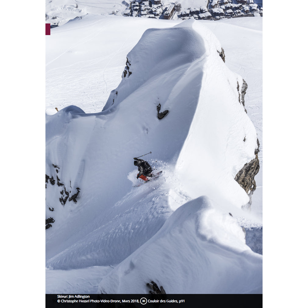
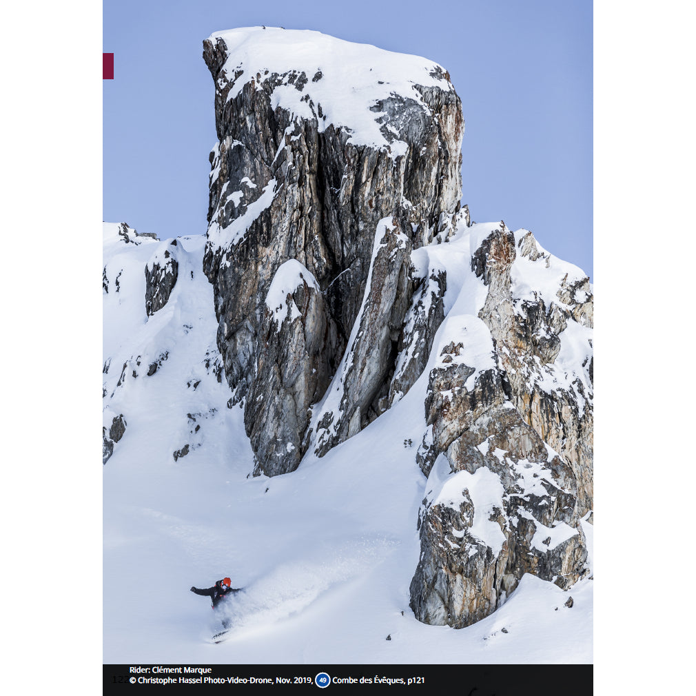
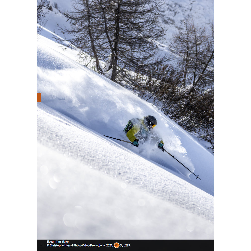
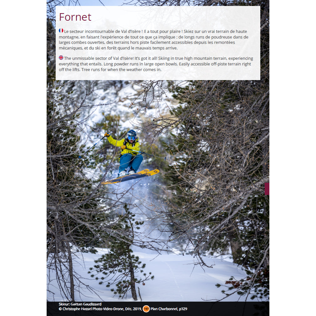
Detailed bilingual layout, technical grading breakdowns, safety advisories, and color-coded difficulty indicators from actual guidebook pages.
Community Spirit: Raising Thousands for Charitable Causes
Perhaps the most rewarding dimension of the entire project is its philanthropic core. From the outset, we agreed that none of the authors would take a single euro in fees or royalties. The talented photographers who donated their breathtaking mountain imagery did so entirely free of charge. Thanks to this shared dedication, book sales have raised thousands of euros for charitable causes, giving back directly to communities and causes that support mountain preservation and youth initiatives.
Key Guidebook Specifications
Full Bilingual Edition: English and French text presented side-by-side on every spread.
Official IGN Cartography: High-resolution French National Geographic Institute topographic maps for every sector.
Smartphone QR Integration: Scannable QR codes for instantaneous GPX route downloads and escape navigation.
Proprietary Circle Info-Grams: Precise graphical visualisations of slope aspect, pitch angle, and vertical relief.
The Verdict: An Indispensable Masterpiece for the Thinking Skier
Val d'Isère Hors Piste: Le Guide Complet is not simply a guidebook; it is a masterclass in modern alpine cartography and backcountry safety. For anyone planning to venture beyond the groomed pistes of Val d'Isère and Tignes, it belongs in your pack alongside your transceiver, shovel, and probe. Whether you are an experienced ski tourer planning multi-valley traverses or a passionate freerider hunting pristine powder bowls, this book is your ultimate alpine bible.
Order Your Copy of the Guidebook
Purchase your copy direct from Backcountry Books to equip your winter adventures while supporting vital charitable initiatives. Available in standalone editions or bundled with the companion guide to Tignes.
Terry Walker
Highest-qualified British ISTD ski instructor, co-author of Val d'Isère Hors Piste: Le Guide Complet, and published sports coaching author based in Val d'Isère and Tignes. Dedicated to technical excellence, private coaching, and safe off-piste guiding.